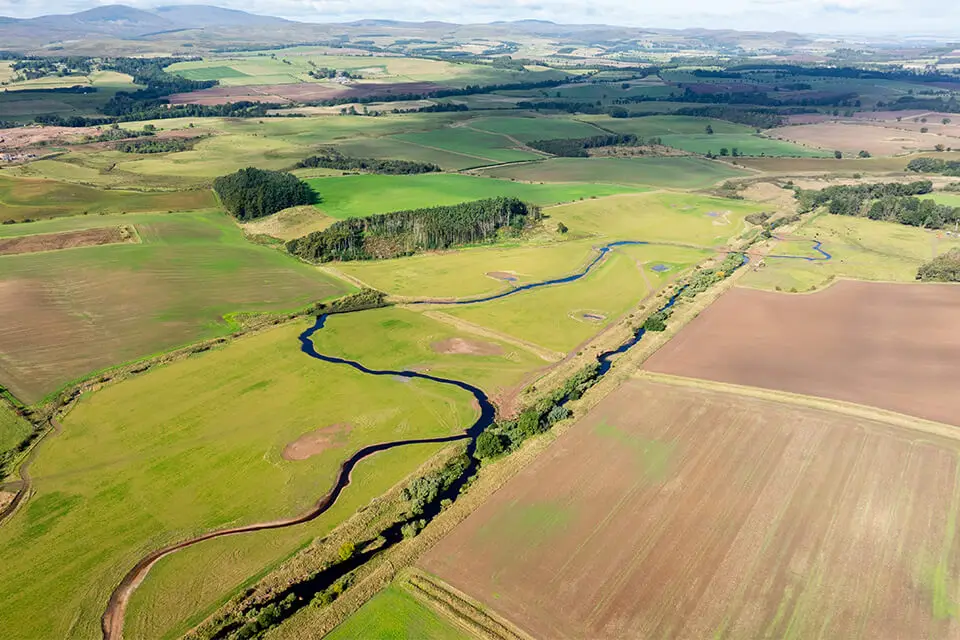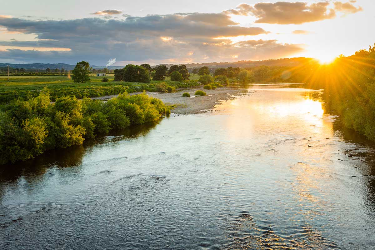
Many of the water courses in the Tweed catchment contain high levels of phosphates and nitrates. These levels originate from a range of human activities including, sewage systems, agriculture, transport, mining and industry. An excess in nutrients can cause a host of environmental issues that harm the ecosystem such as eutrophication, dead zones/oxygen depletion, human health hazards, and biodiversity loss.
Budle Bay is a Site of Special Scientific Interest (SSSI) in Northumberland where algal blooms have become present in the bay due to elevated nutrient levels. It is an important site for several bird species that use the bay to breed, feed, and rest. Therefore, this coastal stretch was chosen as a WADER priority site for wetland interventions.
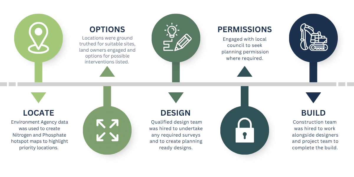
WADER collaborated with local farmers and land managers to install wetland systems around Budle Bay to help stem nutrient and sediment outflow into the watercourse. Wetlands and Sustainable Drainage Systems are simple and effective ways to improve water quality and biodiversity by tackling diffuse pollution. Wetlands have numerous environmental benefits as they filter and capture nutrients, slow water flow, store carbon, create important habitats for wildlife, and boost biodiversity. The journey of wetland creation followed during the project is detailed below. The wetland designs were created by Blue Green Studios.
Wetland Site 1
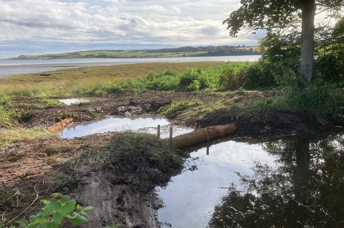
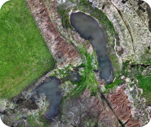
This site lies within the Lindisfarne SSSI, where farmland drains into the Budle Bay saltmarsh. Construction took place on a narrow bracken covered bankside strip between the fields and saltmarsh. Multiple small scale features were selected here due to the site’s sensitivity.
Five wetland/settlement systems were created (ten ponds in total). Four connect to field drains, and one enhances an existing ditch and reedbed. Bunded settlement ponds with coir roll seepage barriers were installed in the ponds connected to field drain outlets, and at the reedbed site a multi-cell system with coir roll barriers and a leaky dam was formed. The largest wetland at this site is the reedbed intervention measuring 0.03 hectares, with 0.07 hectares of wetland habitat created overall at this site.
Wetland Site 2
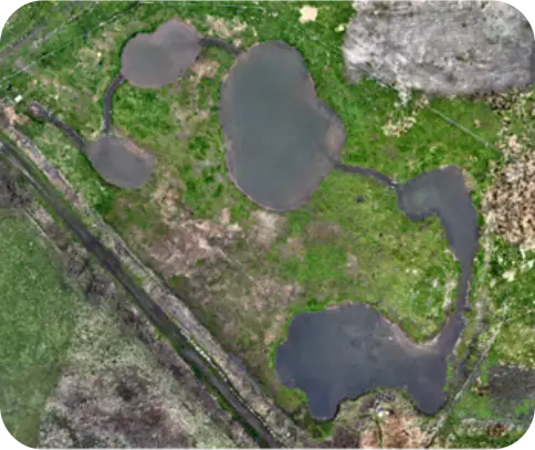
This site is located on the eastern side of Budle Bay, just outside the Lindisfarne SSSI, and intercepts a farmland ditch that drains directly into the bay. An algal trail at both historic and current outflow points indicates consistently elevated nutrient levels. The site receives runoff from surrounding farmland, including a precipitation fed ditch, several field drains, and old well connections.
Five asymmetric settlement ponds were created, separated by coir rolls, with stone lined swales installed between them to provide erosion control, sediment filtration, aeration, and surfaces for biofilm development. The wetland ponds here cover 0.1 hectares, significantly increasing water holding capacity and creating valuable freshwater habitat that enhances the area’s conservation value.
Coming soon…